


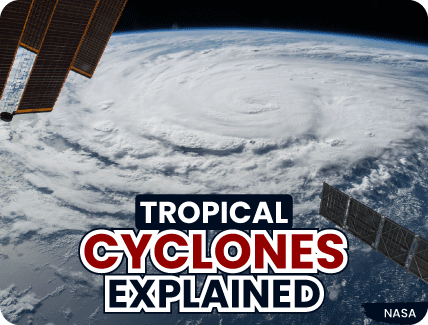

With the country still reeling from Cyclone Tauktae, let’s find out exactly what it was and why it did what it did. Simply put, cyclones are winds that rotate or circulate around an area of low atmospheric pressure. In the Earth’s northern hemisphere, cyclones rotate anti-clockwise. In the southern hemisphere, they rotate clockwise. The difference is because of the way the Earth spins on its axis.
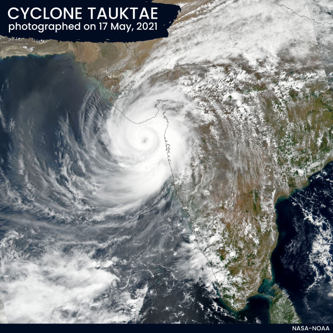

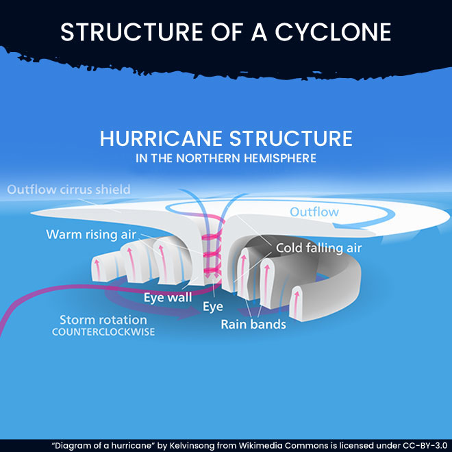
After warm air over the ocean rises, it starts to cool and form clouds. Now, because this air has risen, there is a lot less air close to the ocean surface. This is an area of low pressure. Think of it as an empty train compartment.
Just as people rush to an empty train compartment, more air moves in and fills the gap in the area of low pressure. This new air now warms and rises as well, and more air then moves in to fill the space left. As more air continues to rise and cool, more and more clouds form. This system grows in height and size, spreads out and becomes a spinning cycle. This has now become a cyclone; to be more specific, it’s a tropical cyclone. Tropical cyclones are formed thus, closer to the equator.

Not as much as you might think. Tropical cyclones that form in the Caribbean or North American region are called hurricanes. Tropical cyclones that form close to places like China and Japan in the far east are called typhoons. Storms that form in the Indian Ocean are called cyclones.
Tropical cyclones become stronger as they move over large areas of water. The air above the warm water is like fuel to the cyclones. After it warms and rises, it is replaced again and again by new air that is warm and moist. The size of tropical cyclones thus grows.
When tropical cyclones strike land, they basically do not have fuel any longer. There is no more warm and moist air, so the cyclones end up reducing in strength. However, they can still cause a lot of damage with strong winds and rain, as they lose their energy over land.
Tropical cyclones can be anywhere between 100 and 1,000 km in diameter. Their wind speeds may go up to 90 metres per second. Tropical cyclones spin outwards from a central point. This is the ‘eye’ of the storm and is usually a calm space, unlike the rest of the cyclone. The air pressure in the eye is low and the storm moves around this point.
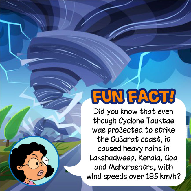

While meteorologists (experts who study weather) do track cyclones, it is difficult to predict how strong tropical cyclones will be, or even pinpoint exactly where they will strike land. Experts group tropical cyclones by the strength of their winds and this grouping usually helps people living in areas where the storm might strike to prepare for it. Some places may require buildings to be constructed with specific shapes or sizes to withstand the storm. In some other places, people are asked to keep a stock of long-lasting food and drinks, along with a first-aid kit.
In 2000, Bangladesh, India, the Maldives, Myanmar, Oman, Pakistan, Sri Lanka and Thailand came together to form an organization called WMO/ESCAP (World Meteorological Organisation/United Nations Economic and Social Commission for Asia and the Pacific). This group decided to start naming cyclones in the region. In 2018, five more countries joined WMO/ESCAP—Iran, Qatar, Saudi Arabia, United Arab Emirates and Yemen. A list of cyclone names has been created from contributions by each of these countries, and cyclones are named in a rotational fashion from this list.

1. Bhola cyclone (1970): This cyclone struck East Pakistan, now Bangladesh. It was the deadliest tropical cyclone recorded—up to 5 lakh people lost their lives.
2. The 1999 Odisha cyclone (1999): This cyclone struck Odisha. It was the most intense recorded tropical cyclone in the North Indian Ocean.
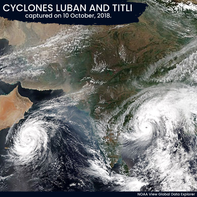
3. Luban and Titli (2018): Luban affected the Arabian Peninsula, while Titli affected Bangladesh and the eastern states of India. They were two severe storms that existed simultaneously on either side of India, which led the India Meteorological Department to call it a ‘rarest of rare’ occurrence.